
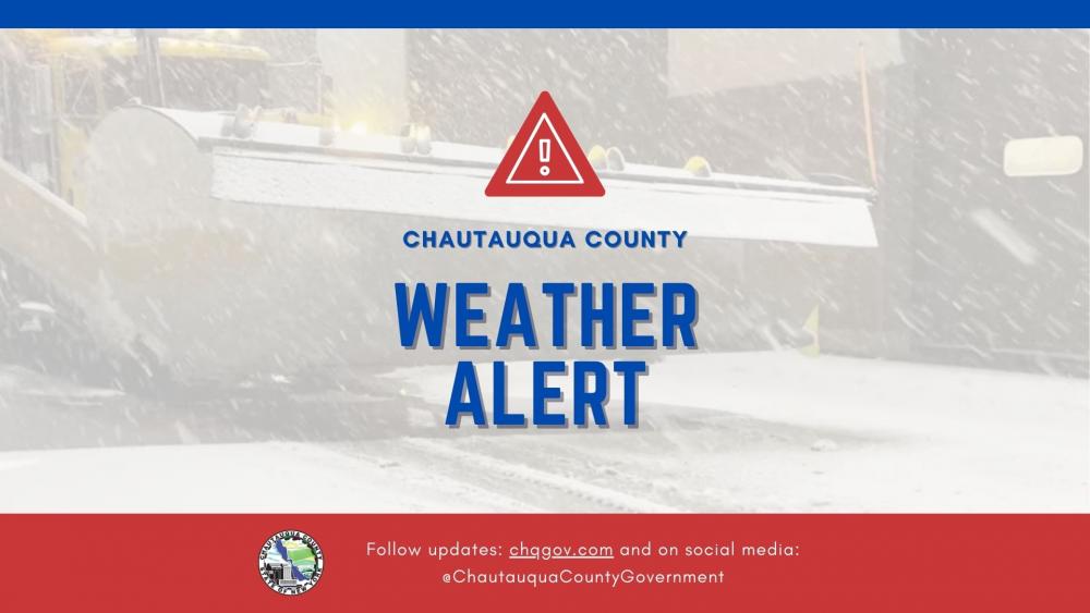
THIS IS NOT AN ACTIVE ALERT
The National Weather Service (NWS) continues its Lake Effect Snow Warning for Chautauqua County, in effect through 4:00 AM on Saturday, December 7, 2024.
Weather Updates
- Snow Accumulations: An additional 6 to 12 inches of snow is expected in the most persistent lake-effect bands.
- Winds: Gusts up to 35 mph, contributing to blowing snow and reduced visibility.
- Break in Snowfall: Accumulating snow will pause this morning before heavy snow redevelops off Lake Erie by midday or early afternoon and continues through the evening and into the night.
Impactful Conditions
- Travel Difficulties: Hazardous conditions will significantly affect the evening commute today.
- Visibility Challenges: Localized bands of heavy snow will create rapidly changing road and weather conditions.
Preparation Tips
- Travel Safety: If travel is necessary, proceed with caution, and keep emergency supplies in your vehicle.
- Emergency Preparedness: Prepare for potential power outages by ensuring devices are charged and having flashlights and warm clothing ready.
- Stay Updated: Monitor weather reports and updates from local authorities and the National Weather Service.
Wide Variability in Weather
During lake-effect snow, conditions can vary dramatically over short distances. Some areas may experience heavy snowfall with low visibility, while others nearby may see little to no snow. Be prepared for these rapid changes if traveling.
Stay Informed
- The National Weather Service website and social media channels
- Local news outlets
- Chautauqua County’s official social media and website
Stay safe and be prepared, Chautauqua County!
Last updated: 12/06/2024 @ 9 AM